The Short Answer
A METAR is an aviation routine weather report: what the weather was at one airport at one moment, written in a compact code. Every METAR lists its groups in the same order: report type, station, time, wind, visibility, present weather, sky condition, temperature and dew point, altimeter setting, and remarks. Once you know that order, you can read any METAR in the world left to right.
Searches for "metar" are the single largest weather topic student pilots look up, ahead of aviation weather in general. That makes sense: the METAR is the first weather product you meet in ground school, it is on the knowledge test, and it is the report you will read before every flight for the rest of your flying life. This guide walks through one group at a time and ends with a full worked example.
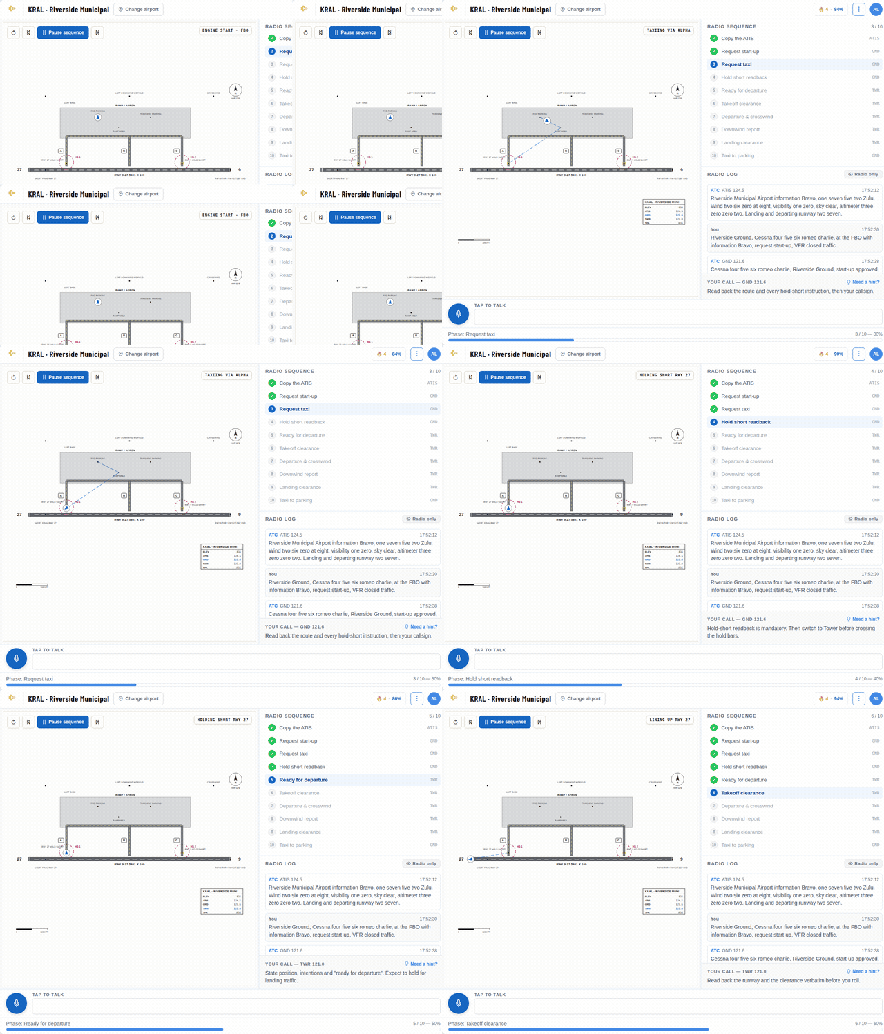
Practice Your Radio Calls Before You Key the Mic
Talk to an AI controller at a real airport, out loud or by typing, and get scored on your phraseology. It runs right in your browser.
The first lessons are free. A hint is one click away whenever you get stuck.
Step 1: Report Type, Station and Time
A report starts with its type. METAR is the routine observation, taken once an hour near the end of the hour. SPECI is a special report, issued between routine reports because the weather changed enough to matter, for example a ceiling dropping or a thunderstorm starting.
Next comes the station, the airport's four-letter ICAO code. In the contiguous United States that is the FAA identifier with a K in front, so Riverside Municipal (RAL) becomes KRAL. British airports start with EG, Brazilian ones with SB, Argentine ones with SA.
Then the time: six digits and a Z. 151853Z means the 15th day of the month at 18:53 UTC, also called Zulu. METARs never use local time, so convert before you compare a report with your planned departure. You may also see AUTO, which means no human observer augmented the report, or COR, which marks a corrected report.
Step 2: Wind
The wind group gives the direction the wind blows from, in degrees true, followed by the speed. 21003KT is from 210 degrees at 3 knots. A G adds gusts: 27015G25KT is 15 knots steady, gusting to 25. Plan your crosswind for the gust, not the steady wind.
00000KT means calm. VRB replaces the direction when the wind is light and variable, as in VRB04KT. When a stronger wind swings across a range, a second group follows: 020V080 means the direction varies between 020 and 080 degrees.
One detail catches many students: METAR winds are in true degrees, while the wind in an ATIS broadcast or from a tower controller is magnetic, because it is meant to be compared with runway headings.
Step 3: Visibility
In the United States, prevailing visibility is in statute miles: 10SM is ten miles, 1/2SM is half a mile, and 2 1/2SM is two and a half miles, written as two groups with a space. M1/4SM means less than a quarter mile, and P6SM, used in forecasts, means more than six.
Most other countries report visibility in meters as four digits. 0800 is 800 meters and 9999 means 10 kilometers or more. You may also see CAVOK, short for ceiling and visibility OK: visibility of 10 km or more, no cloud below 5,000 ft or the highest minimum sector altitude, whichever is higher, no cumulonimbus or towering cumulus, and no significant weather. US reports never use it. A runway visual range group such as R28L/2400FT can follow when visibility is low.
Step 4: Present Weather
Weather codes come right after the visibility. They are built from up to three parts: intensity, a descriptor and the phenomenon. A minus sign means light, no sign means moderate and a plus sign means heavy. VC means in the vicinity, roughly 5 to 10 miles from the airport.
Descriptors include SH for showers, TS for thunderstorm, FZ for freezing and BL for blowing. Common phenomena are RA for rain, SN for snow, DZ for drizzle, BR for mist, FG for fog and HZ for haze. So -RA is light rain, +TSRA is a heavy thunderstorm with rain, FZDZ is freezing drizzle and VCSH is showers in the vicinity. If no weather group appears, nothing significant is happening.
Step 5: Sky Condition and the Ceiling
Clouds are reported as a cover code and a height in hundreds of feet above the airport. FEW is one to two eighths of the sky, SCT (scattered) three to four eighths, BKN (broken) five to seven eighths, and OVC (overcast) the whole sky. BKN025 means broken clouds at 2,500 ft. A CB or TCU suffix marks cumulonimbus or towering cumulus, the clouds that grow into thunderstorms.
The ceiling is the lowest broken or overcast layer, or the vertical visibility into an obscuration. 14 CFR 1.1 defines it that way, and it is the number that matters most for VFR. In SCT012 BKN025 OVC080 the ceiling is 2,500 ft, not 1,200: a scattered layer is not a ceiling, however low it is. VV002 means fog hides the sky and you can see 200 ft straight up, which counts as a 200 ft ceiling.
CLR means no clouds below 12,000 ft at an automated station, and SKC means sky clear from a human observer. Outside the US you will see NSC, no significant cloud.
Step 6: Temperature and Dew Point
Temperature and dew point are in degrees Celsius, separated by a slash. 20/10 is 20 degrees with a dew point of 10. An M means minus, so M04/M06 is minus 4 with a dew point of minus 6.
Watch the gap between the two numbers. When the temperature and dew point are within a few degrees of each other, the air is close to saturation, and fog or low cloud can form quickly, especially in the evening as the air cools.
Step 7: Altimeter and Remarks
In the US the altimeter setting is in inches of mercury: A3010 means 30.10. Elsewhere it is in hectopascals with a Q: Q1013 is 1013 hPa. Mixing the two up is a classic error when you read reports from abroad.
Everything after RMK is remarks. AO2 means an automated station with a precipitation sensor (AO1 has none). SLP180 is the sea-level pressure, 1018.0 hPa. A group like T02000100 gives the temperature and dew point to a tenth of a degree. A dollar sign at the end means the station needs maintenance, so treat its data with some suspicion.
A Worked Example
Here is a full report: METAR KVNY 151751Z 16008KT 6SM HZ SCT012 BKN025 OVC080 18/14 A2988 RMK AO2.
Read it left to right. A routine report from Van Nuys, California, taken on the 15th at 17:51 UTC. Wind from 160 degrees true at 8 knots. Visibility 6 statute miles in haze. Scattered clouds at 1,200 ft, broken at 2,500 ft and overcast at 8,000 ft, so the ceiling is 2,500 ft. Temperature 18 degrees, dew point 14. Altimeter 29.88 inches. An automated station with a precipitation sensor.
With a 2,500 ft ceiling, this airport is marginal VFR. The visibility is fine, but the ceiling alone puts it in that category, and the 4-degree spread between temperature and dew point says the low layers could thicken.
Mistakes Students Make
Reading the gust as the wind speed. In 27015G25KT the steady wind is 15 knots, but you still brief the landing for 25.
Taking the lowest layer as the ceiling. Only broken, overcast or vertical visibility counts. A scattered layer at 800 ft is not a ceiling.
Forgetting the extra zeros. Cloud heights are in hundreds of feet, so BKN025 is 2,500 ft, not 25 or 250.
Treating true as magnetic. METAR winds are true, tower and ATIS winds are magnetic.
Misreading units abroad. Q0995 is 995 hPa, not 9.95 inches, and 9999 is visibility in meters, not a code for missing data.
Practice Reading METARs
Reading METARs is a pattern-recognition skill, and the fastest way to build it is volume. RadialCoach has a free METAR decoder at radialcoach.com/metar: type any airport code and the latest report is split into its groups, each decoded in plain language, with the flight category and the current TAF. No account is needed.
When you want to test yourself, the practice page at radialcoach.com/weather has nine example reports, each built to teach one thing, from gusts and ceilings to fog, thunderstorms and the ICAO format. Every report asks six questions, and a wrong answer shows you exactly which group to look at.
From Code to Decision
A METAR is only the start of a weather briefing. It tells you what the weather was a few minutes ago at one point. The forecast, the trend between reports and your own limits turn it into a go or no-go decision. Learn to read the code quickly and correctly, and you free up your attention for the part that keeps you safe: deciding what the weather means for your flight.