The Short Answer
A METAR tells you what the weather was. A TAF tells you what the weather is expected to be. The METAR is an observation at one airport at one moment, updated about every hour. The TAF, or terminal aerodrome forecast, is a forecast for the area within about five statute miles of an airport's runway complex, usually covering the next 24 hours and 30 hours at some larger airports.
The two are written in almost the same code, which is why "metar taf" is the most common search people make alongside "metar". If you can read one, you can read most of the other. The differences are in the header, in the change groups that describe how the forecast evolves, and in a few groups a forecast leaves out.
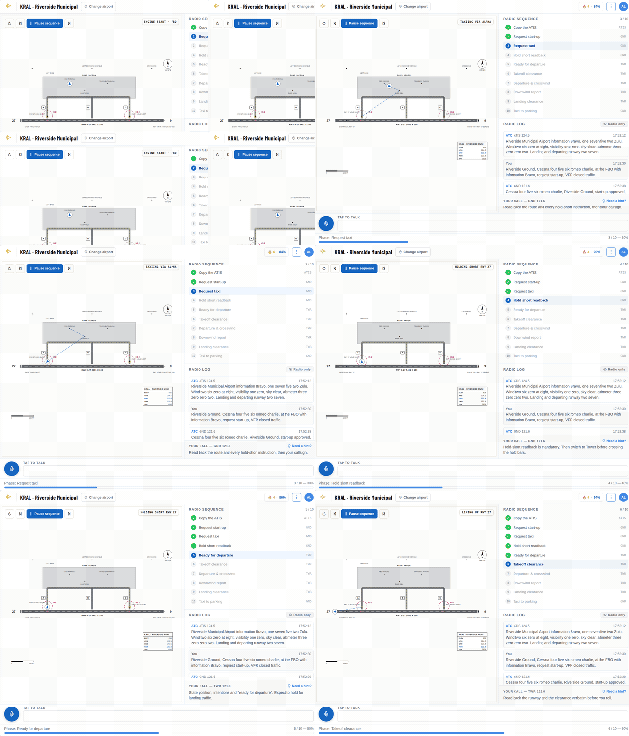
Practice Your Radio Calls Before You Key the Mic
Talk to an AI controller at a real airport, out loud or by typing, and get scored on your phraseology. It runs right in your browser.
The first lessons are free. A hint is one click away whenever you get stuck.
When Each One Is Issued
In the United States, METARs are routine hourly observations, and a SPECI is issued between them when the weather changes significantly. Each one is a snapshot, so the newest report can already be an hour old.
According to National Weather Service training material, scheduled TAFs are issued four times a day, every six hours, at 0000, 0600, 1200 and 1800 UTC. They are amended whenever the forecast no longer fits the weather, so always check the issue time on the TAF you are reading.
Reading the TAF Header
Here is a TAF recently issued for Miami International: TAF KMIA 151720Z 1518/1624 03007KT P6SM SCT030 FM151900 07009KT P6SM SCT030 FM160300 06006KT P6SM FEW050 FM161400 07010KT P6SM SCT030 FM161800 08012G22KT P6SM SCT030 SCT050.
The header reads like a METAR's. TAF is the report type, KMIA the station, and 151720Z the issue time, the 15th at 17:20 UTC. Then comes something a METAR does not have: the valid period. 1518/1624 means the forecast runs from the 15th at 18:00 UTC to the 16th at 24:00 UTC, a 30-hour forecast.
An amended forecast starts with TAF AMD. That tells you the forecaster changed the earlier one because the weather did not follow it, which is useful information on its own.
The Same Groups, Read the Same Way
After the header, the first forecast block uses the groups you already know from METARs: wind (03007KT, from 030 degrees at 7 knots), visibility, weather and sky (SCT030, scattered clouds at 3,000 ft).
Two differences stand out. P6SM means visibility greater than six statute miles, the top of the scale used in US TAFs. And US TAFs carry no temperature, dew point or altimeter setting, because they forecast the elements that limit flight: wind, visibility, weather and clouds. A TAF can also include a low-level wind shear group starting with WS.
Change Groups: FM, TEMPO, PROB and BECMG
The change groups are what make a TAF a forecast rather than a report. FM means from, and marks a permanent change at a specific time. FM151900 means that from the 15th at 19:00 UTC, a new set of conditions replaces everything before it. In the Miami example, each FM block describes the next period: light northeast winds and scattered clouds overnight, and by the 16th at 18:00 UTC, wind from 080 degrees at 12 knots gusting 22, with scattered layers at 3,000 and 5,000 ft.
TEMPO means temporary fluctuations expected during a window, each lasting less than an hour. TEMPO 1520/1524 3SM -SHRA BKN020 says that between 20:00 and 24:00 UTC, you may meet 3 miles in light rain showers with a 2,000 ft ceiling, though the prevailing forecast stays in place.
PROB30 or PROB40 gives a 30 or 40 percent chance of the conditions that follow, often thunderstorms. BECMG, more common outside the US, describes a gradual change over the stated window. For planning, the safe reading of TEMPO and PROB groups is to ask whether you could cope if they happened right as you arrived.
How Pilots Use Both in a Briefing
The METAR tells you whether the forecast is working. If the TAF promised a 3,000 ft ceiling this hour and the METAR shows broken clouds at 1,200 ft, the forecast is already wrong, and you should expect it to keep surprising you.
For a cross-country flight, read the departure METAR for the weather you will take off into, and the destination TAF for the hour you expect to land, with margin on both sides for a late departure or a headwind. Check the METARs along your route too, because the weather between airports is not in any TAF.
Many airports have no TAF at all. Small airports usually have only a METAR, so you plan with the nearest TAF and the area forecast products, and you treat the gap with extra caution.
Practice With Real Reports
The free METAR decoder at radialcoach.com/metar shows the latest METAR for any airport, decoded group by group, together with the raw TAF when the airport publishes one. Pull up your home airport and a large airport nearby, read the TAF yourself, and compare the next METAR with what the forecast said.
To build speed on the observation side, the practice page at radialcoach.com/weather quizzes you on nine example METARs, from gusty afternoons to fog and thunderstorms, and points to the exact group behind each answer.
Forecasts Are Opinions, Observations Are Facts
A good weather briefing uses each product for what it is. The TAF is a careful opinion about the next day, made by a forecaster who knows the local weather well. The METAR is a fact about the last hour. When the two disagree, believe the observation, and let it change your plan early, while you still have options.