The Short Answer
Flight categories sort weather into four bands by ceiling and visibility. VFR means a ceiling above 3,000 ft and visibility above 5 miles. Marginal VFR (MVFR) means a ceiling of 1,000 to 3,000 ft or visibility of 3 to 5 miles. IFR means a ceiling of 500 to below 1,000 ft or visibility of 1 to below 3 miles. Low IFR (LIFR) means a ceiling below 500 ft or visibility below 1 mile.
These are the colored dots you see on weather maps and flight-planning apps: green for VFR, blue for MVFR, red for IFR and magenta for LIFR. They come from the Aeronautical Information Manual, AIM 7-1-7, and they give you a quick read of an area's weather before you look at a single report. This guide covers how each band is set, what counts as a ceiling, and how the categories relate to the legal VFR minimums.
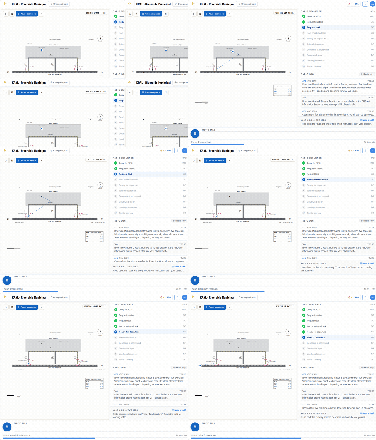
Practice Your Radio Calls Before You Key the Mic
Talk to an AI controller at a real airport, out loud or by typing, and get scored on your phraseology. It runs right in your browser.
The first lessons are free. A hint is one click away whenever you get stuck.
The Worse Number Decides
A station gets the category of whichever element is worse. An airport with a 10,000 ft ceiling but 2 miles of visibility in haze is IFR, because the visibility is. An airport with 10 miles of visibility and an overcast layer at 800 ft is also IFR, this time because of the ceiling.
That is why a sunny, hazy afternoon can show up red on the map, and why a perfectly clear-looking morning can turn out to be marginal once you read the cloud groups.
What Counts as a Ceiling
The category depends on the ceiling, not on the lowest cloud. 14 CFR 1.1 defines the ceiling as the height above the ground of the lowest layer of clouds or obscuring phenomena reported as broken, overcast or obscuration, and not classified as thin or partial.
In a METAR that means BKN, OVC or VV. A report with SCT008 BKN040 has an 800 ft scattered layer, but its ceiling is 4,000 ft, so on ceiling alone it is VFR. A report with VV003 has a 300 ft ceiling, which is LIFR, because vertical visibility into fog or another obscuration counts as a ceiling.
Flight Categories Are Not VFR Minimums
This is the point students most often miss. The flight categories are a planning tool. The legal limits for flying VFR are in 14 CFR 91.155, and they depend on the airspace, your altitude and whether it is day or night.
In Class B, C, D and E airspace below 10,000 ft MSL, VFR requires 3 statute miles of flight visibility and staying 500 ft below, 1,000 ft above and 2,000 ft horizontally from clouds. Within the surface area of controlled airspace, you also need a ceiling of at least 1,000 ft and ground visibility of at least 3 miles to take off, land or enter the traffic pattern, unless you receive a special VFR clearance.
So an MVFR airport can be perfectly legal for VFR, and an IFR airport is closed to normal VFR traffic in its surface area. But legal and wise are different things. A 1,500 ft ceiling may be legal, yet it leaves little room between the pattern altitude and the clouds, and almost none if the ceiling lowers while you are away.
Personal Minimums
Many flight instructors encourage new pilots to set personal minimums well above the legal ones and to write them down before the day they need them. A common starting point for early solo and cross-country flights is to stay in VFR conditions: ceilings above 3,000 ft and visibility above 5 miles, with limits on wind and gusts as well.
Your instructor will help you choose numbers that fit your experience and your airplane. The flight category gives you a fast first filter: if your destination is blue or red at your arrival time, that is your cue to read every report and forecast in detail, or to plan something else.
How to Read the Category From a METAR
Take METAR KTMB 152153Z 09012KT 4SM -RA BR BKN018 OVC030 23/21 A2990. Visibility is 4 miles, which is MVFR. The ceiling is the broken layer at 1,800 ft, also MVFR. The station is marginal VFR, and the 2-degree spread between temperature and dew point says it could get worse.
Now take METAR KSNA 151253Z 00000KT 1/2SM FG VV002 14/14 A2996. Half a mile of visibility and a 200 ft vertical visibility: low IFR on both counts, typical of a coastal morning fog that often burns off by midday.
Practice Spotting the Category
The free METAR decoder at radialcoach.com/metar shows the flight category next to every live report, with the rule that put it there, so you can check your reading against it. The practice drills at radialcoach.com/weather end every report with a flight-category question, built from reports that teach the tricky cases: scattered layers below a ceiling, vertical visibility and meters instead of miles.
A Color Is a Starting Point
A green dot is not a promise and a red one is not a verdict. Categories describe one moment at one airport. Use them to see the big picture quickly, then read the reports, the forecasts and the trend, and decide against your own minimums, not the map's colors.